Maps and site information
Stretching ~1.3 km from north to south, and ~350 m at its widest point, my survey area covered ~25 ha (0.25 km2) across Wategora Reserve and, immediately south of it, the riverine vegetation adjacent to Everley Park. Located in western Sydney, New South Wales, the survey area spans the suburbs of Chester Hill, South Granville and Auburn, and is under the jurisdiction of Cumberland Council. It is in a highly urbanised area, and is surrounded by sporting fields, a golf course, and industrial estates and commercial properties.

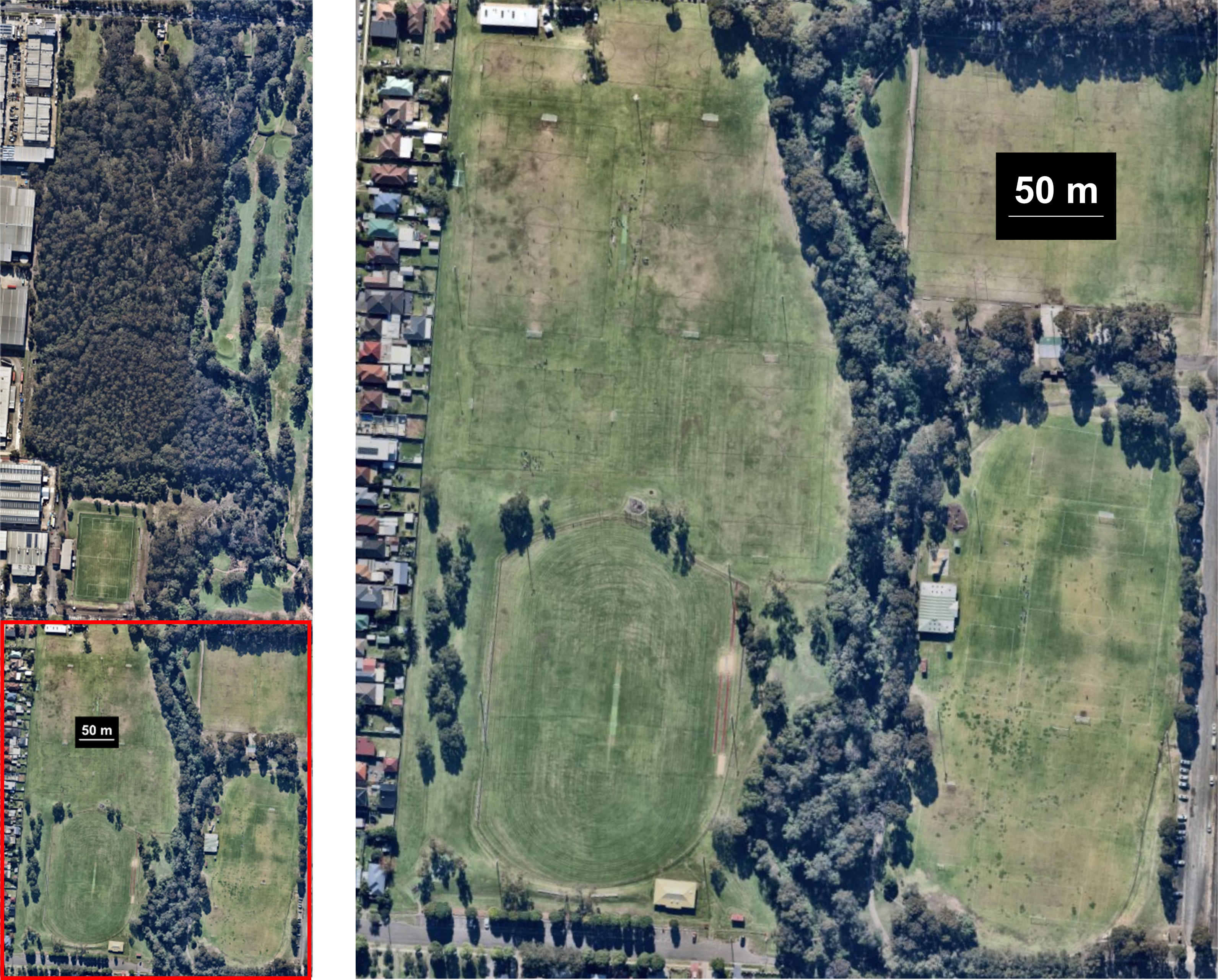
The survey area can be split into two sections. The southern section is what I refer to as the southern riverine stretch, and consists of the eastern section of Everley Park, the riverine vegetation to the immediate east of the park, and Duck River. This vegetation belongs to the endangered ecological community River-Flat Eucalypt Forest on Coastal Floodplains of the New South Wales North Coast, Sydney Basin and South East Corner Bioregions, however, it is highly degraded and weed-infested. This section of the creek and its vegetation have undergone extensive management in the past few decades, including spraying and removal of weeds, native species plantings, and erosion control. In particular, much of the native mid- and understorey along this stretch has been planted or has self-seeded from plantings. The map below shows this section.

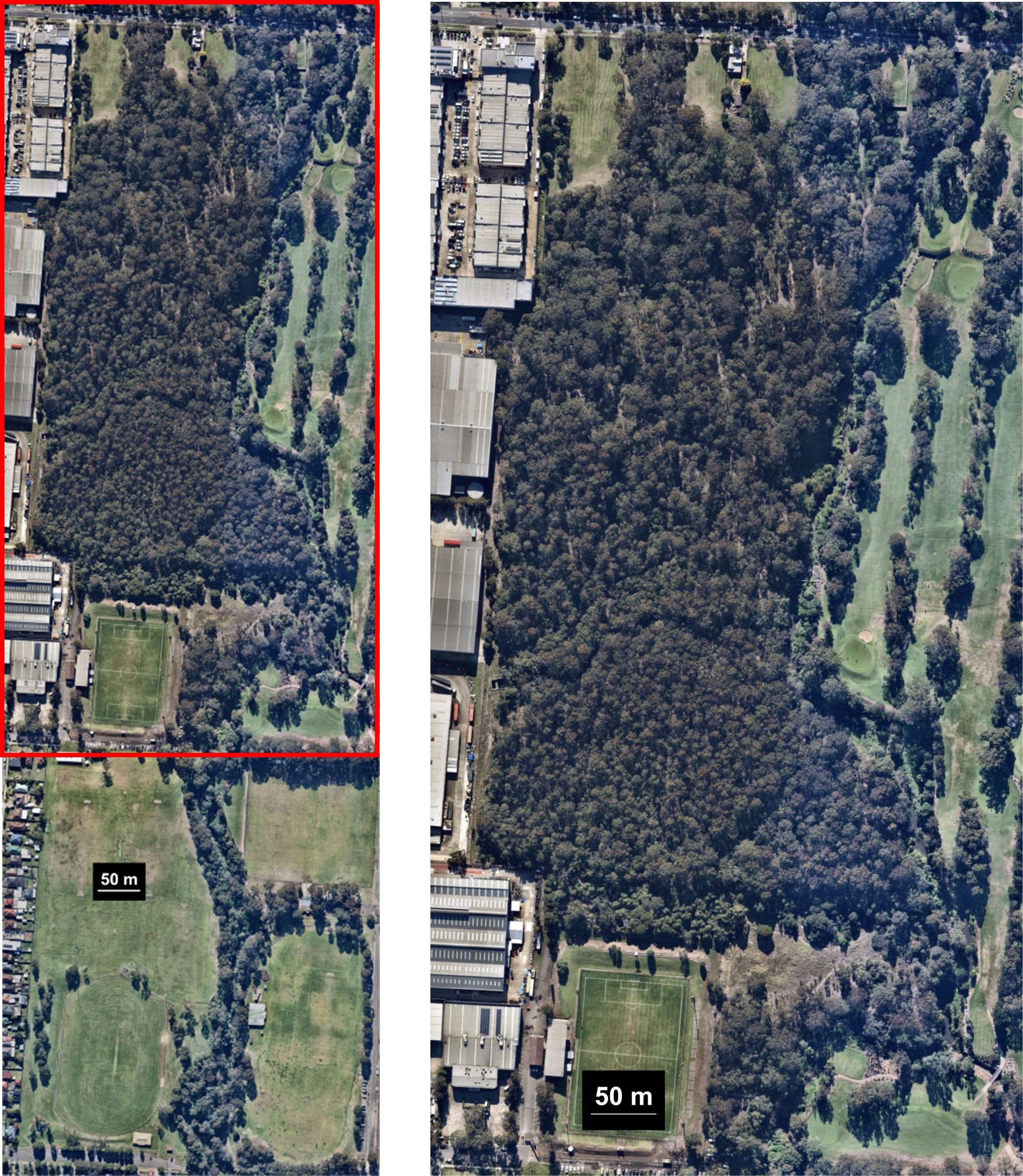
The northern section constitutes Wategora Reserve itself, including Duck River and a small tributary of it extending westwards into the reserve. The riverine vegetation along the creek is also River-Flat Eucalypt Forest, but the core vegetation throughout the reserve is Cooks River/Castlereagh Ironbark Forest of the Sydney Basin, a critically endangered ecological community. The reserve has also undergone extensive management in the past few decades, including spraying and removal of weeds, native species plantings, and erosion control, but most of the vegetation is remnant/naturally occurring. The map below shows this section.
